
Public spaces · Majuro, Marshall Islands
Public spaces where Majuro adapts to floods, heat and storms.
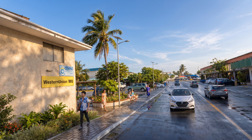
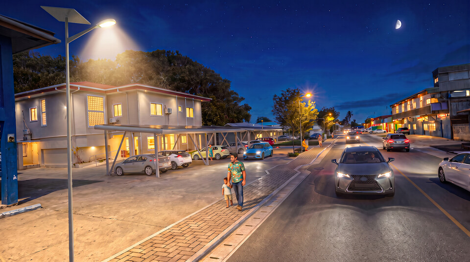
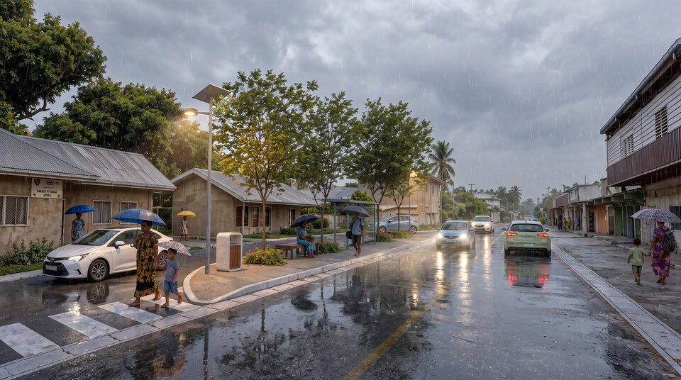
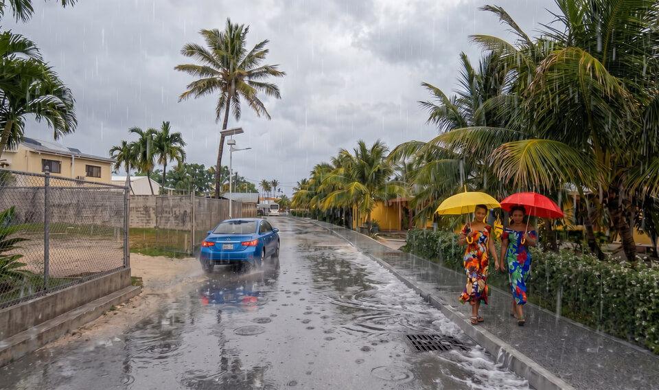
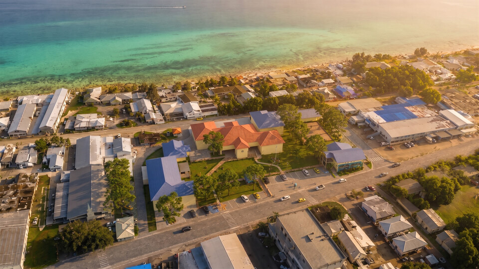
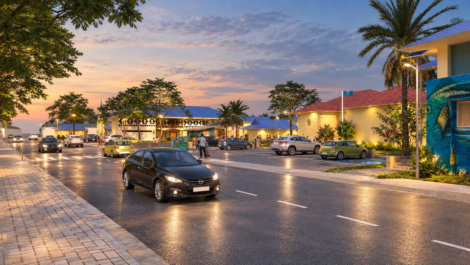
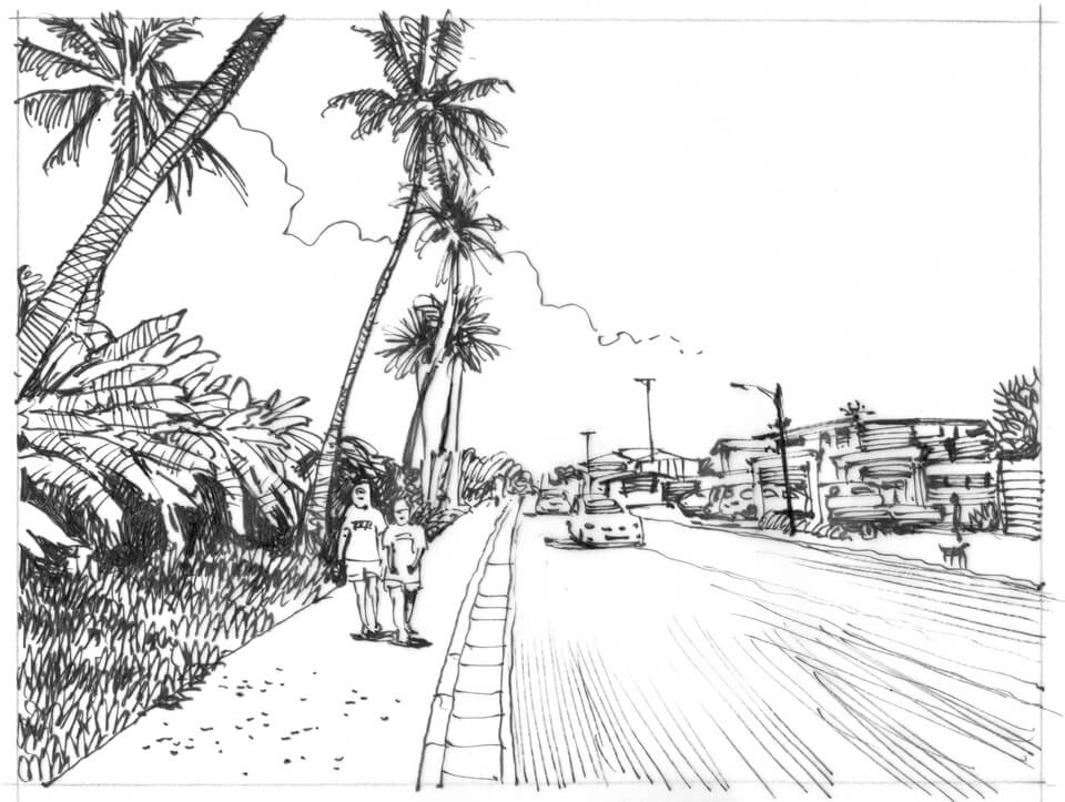
Four public space projects for Majuro, the capital of the Republic of the Marshall Islands: a programme of climate-resilient streets and three parks. Each is designed as a place for daily life that also helps the city cope with floods, heat and storms. The programme is part of the World Bank-funded Urban Resilience Project.
The context
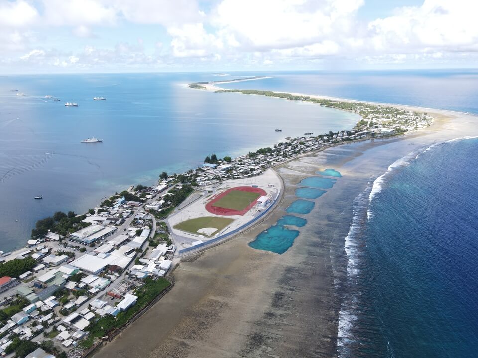
As one of only four atoll countries in the world, the Republic faces existential threats from a variety of issues including the impacts of climate change and sea level rise. The Marshall Islands have one of the world’s lowest average elevations at only two metres, and the challenge of uncontrolled climate change presents a serious threat from sea level rise, stronger cyclones, heavier rain and extreme heat. Over 70% of the 42,000 inhabitants of these 29 atolls and 5 islands live in Majuro and Ebeye, where urbanisation has been rapid and unplanned, resulting in unsuitable and dangerous buildings and infrastructure. The lack of safe and accessible public open spaces negatively impacts on public health with high levels of obesity and diabetes. The Urban Resilience Project was set up to finance public spaces as showcases for resilient, inclusive and sustainable standards: places for recreation that also protect against floods through better drainage.
Key facts
Client
Ministry of Public Works, Infrastructure and Utilities, Republic of the Marshall Islands
Funder
World Bank
Team
Signes Archi (design team leader), with SUEZ Consulting
Site
Majuro, Republic of the Marshall Islands
Projects
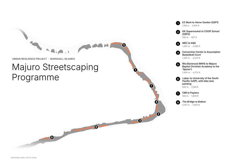
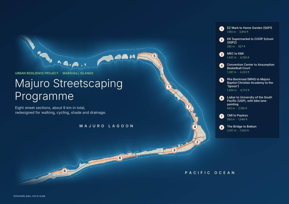
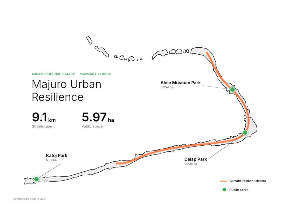
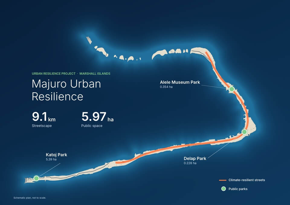
Climate-resilient streets (8 streets, about 10 km), Alele Museum Park (about 3,500 m²), Katoj Park (about 5.4 ha), Delap Park (0.228 ha)
Budget
USD 8 M Phase I
Timeline
August 2024 to present
The challenge
To make Majuro’s public spaces capable of adapting to floods, heat and storms.
The concept
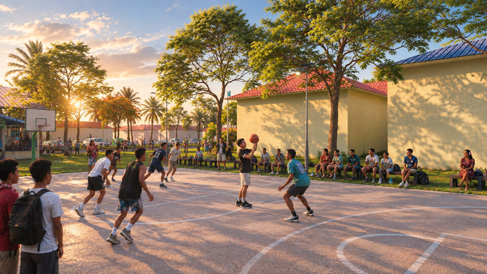
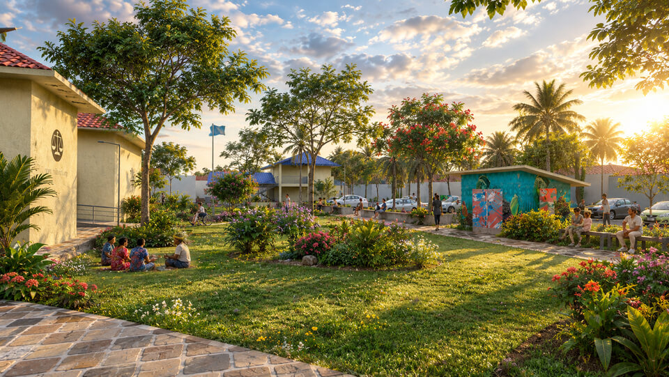
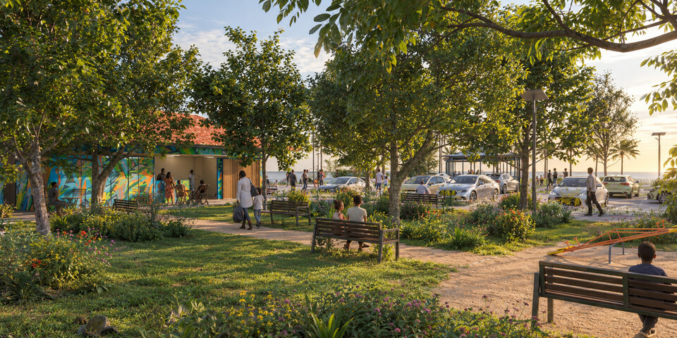
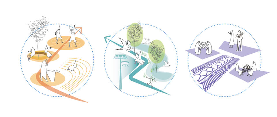
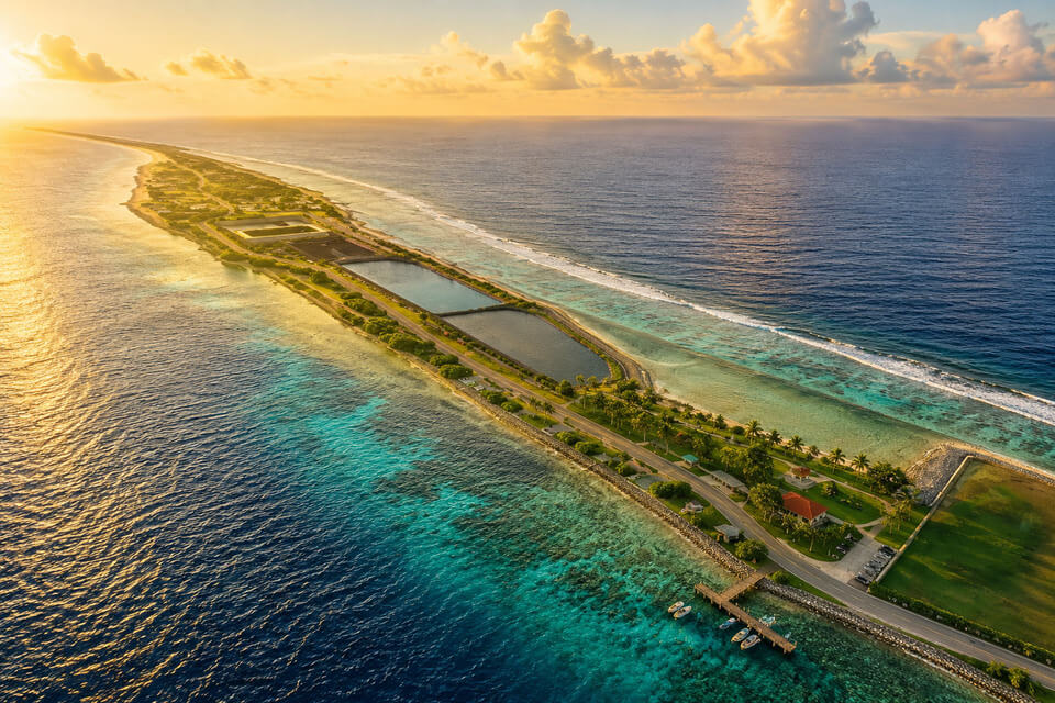
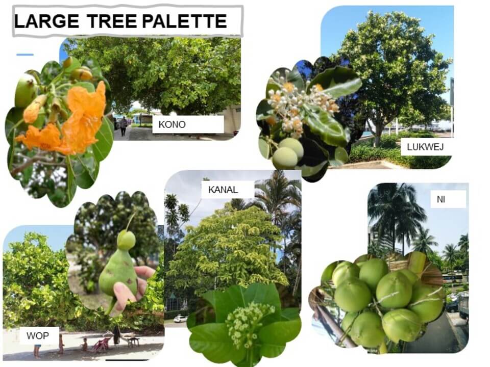
Each public space is also a piece of flood infrastructure. Planted swales, permeable surfaces and constructed wetlands channel excess water into the freshwater lenses under the soil, while the same places serve for play, sport, shade and gatherings. Planting uses native species that tolerate salt and sea level rise.
The four projects
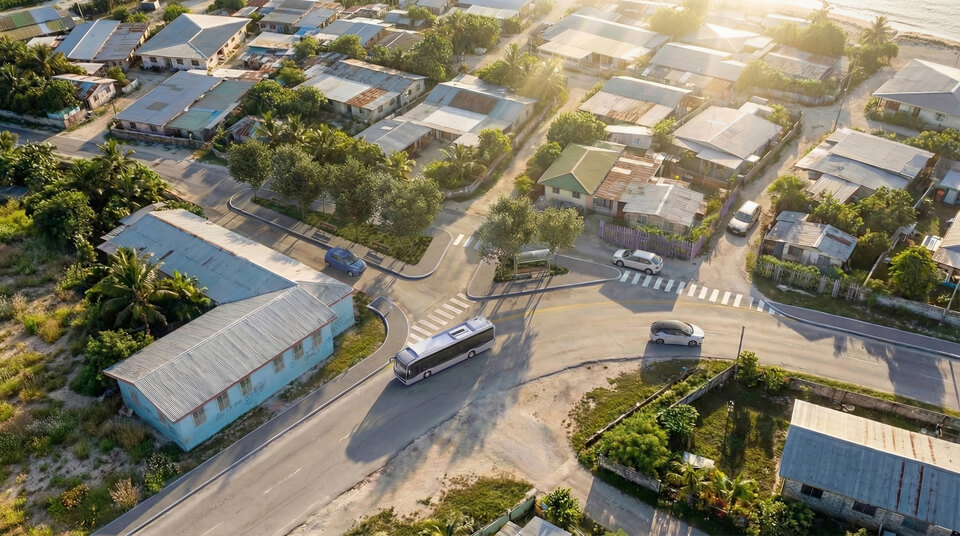
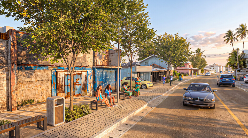
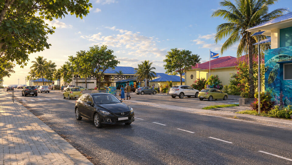
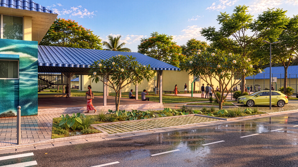
- Climate-resilient streets: 8 streets, about 10 km, with raised footpaths, new drains and bioswale gardens
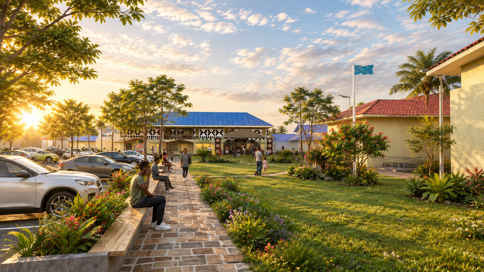
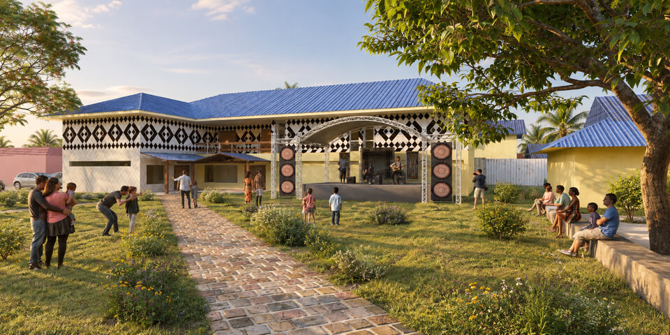
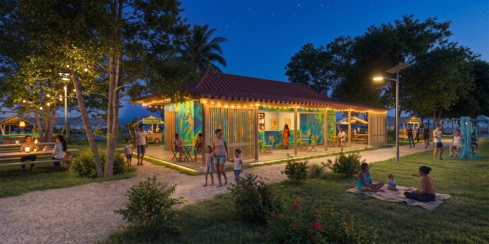
- Alele Museum Park: a civic park with a new stage building, a central lawn and a memorial garden
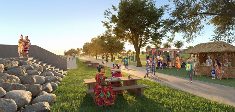
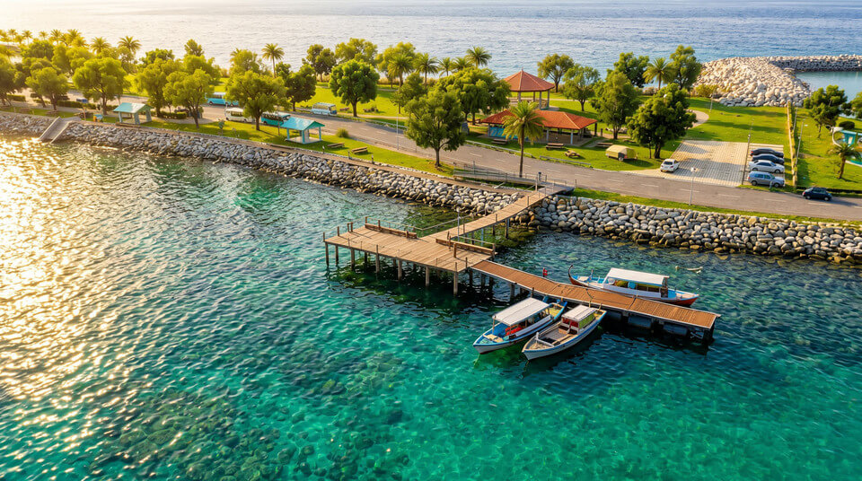
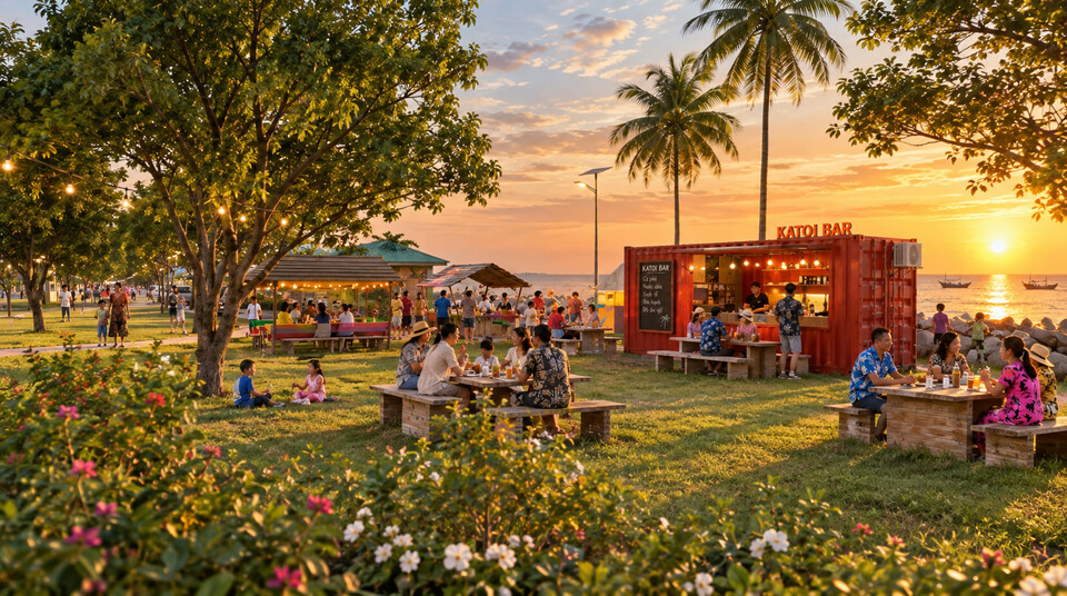
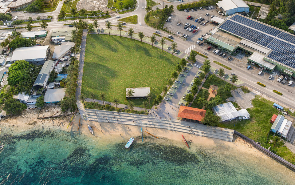
- Katoj Park: a 5.4 ha lagoon-front park for families, sport and events
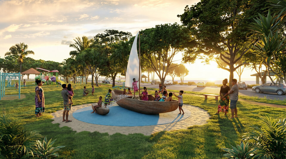
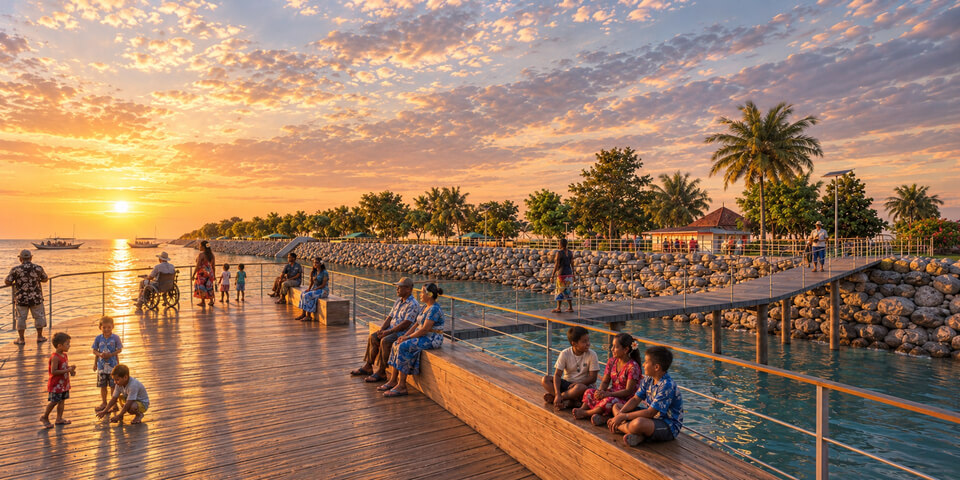
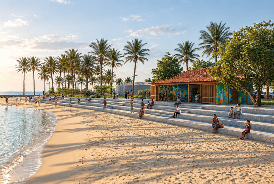
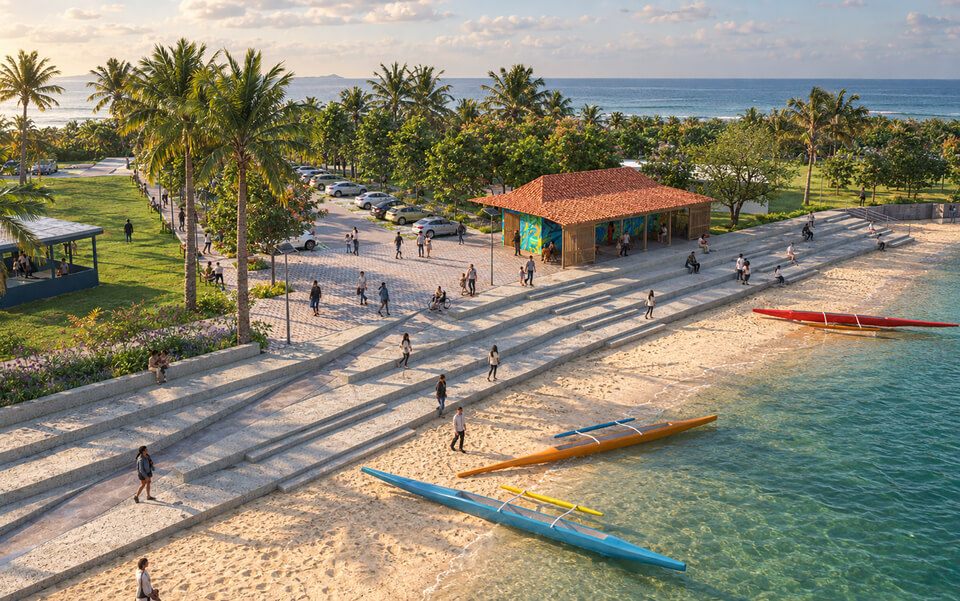
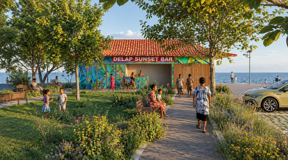
- Delap Park: a waterfront gathering place around the canoe beach
Mission of the team
- Overall management of the programme and studies up to World Bank compliance: specifications, unit price schedule, tender documents
- Engineering of the works, safeguards and assistance with procurement
- Landscape maintenance protocols and community management programmes, adapted to limited resources
Mission of Signes Archi
Team leader of the design and supervision of the four public space projects (streets, Alele Park, Katoj Park, Delap Park), under contract with SUEZ.
- Leading the multidisciplinary team: landscape, civil engineering, hydrology, ecology and social safeguards
- Urban design of the streets and of the three parks
- Landscape design: native planting tolerant of salt, and blue-green infrastructure (rain gardens, bioretention, permeable paving, swales)
- Architectural design of the buildings and structures on the sites (to complete)
- Studies from sketch design to World Bank compliance: specifications, unit price schedule, tender documents
- Procurement support
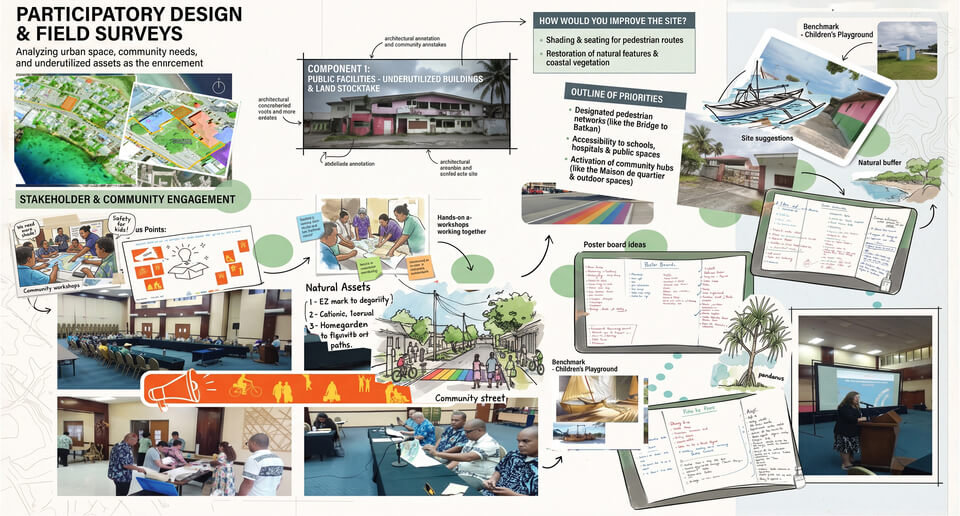
- Social safeguards and participatory design workshops with the communities
- Supervision of the works
Scope and themes: Design · Technical documents and tenders · Nature-based solutions · Designing with communities · Climate adaptation and resilience