
Neighbourhood upgrade · Le François, Martinique, France
Roads, networks and a coastal path for a fishing village.
The Agence des 50 pas géométriques and the Ville du François are upgrading Pointe Thalémont, an informal coastal neighbourhood of about 100 buildings and close to 200 residents, with poor access and no networks. The design team is updating the 2020 preliminary design and taking it through detailed design, tendering and works supervision. The programme covers about 2.4 km of neighbourhood roads, a rustic coastal path, restoration of the lime kiln, erosion protection for the isthmus and south coast, and a new access road from the RD1.
Client
The State (DEAL Martinique), through the Agence des 50 pas géométriques de la Martinique, with the Ville du François
Funder
European Union (FEDER)
Team
ARTELIA (lead), SIGNES Paysages and Signes Archi, co-contractors on a two-lot contract
Site
Pointe Thalémont, Le François, Martinique
Area
About 15 ha, about 100 buildings, close to 200 residents
Works budget
About €10.1 M (Lot 1) and €7.0 M (Lot 2), excl. VAT
Timeline
Programme 2019 · preliminary design 2020 · permit file 2023 · awarded September 2024 (tender dates to confirm)
Status
Awarded September 2024, design phase
The site
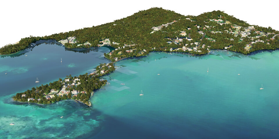
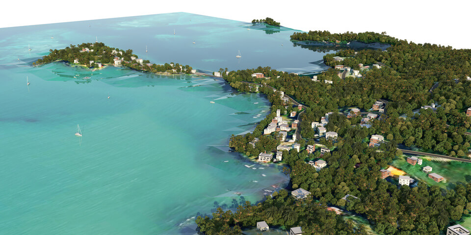
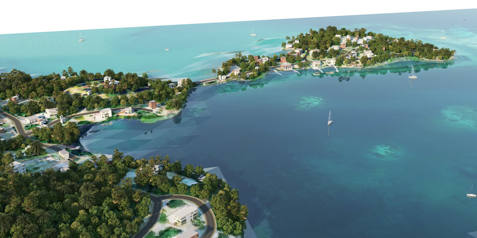
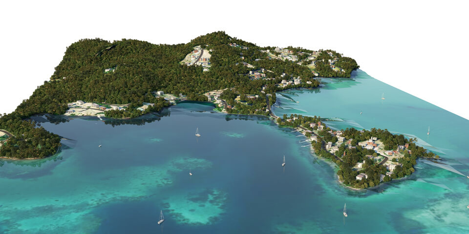
A peninsula on Martinique’s north-east coast, between the Cul-de-Sac des Roseaux and the Baie de Thalémont. Two land arms run into the Atlantic, framed by coastline, mangrove and wooded slopes, and reached by a single road from the RD1. Settlement began as a fishing community on the most remote points. A seagrass meadow lies close to the shore, the east-facing beaches collect sargassum, the isthmus is eroding, and cyclone gusts reach 200–250 km/h. The old lime kiln is a local monument. Residents formed the association AR.THA in 2012, with the motto “Bien et mieux vivre ensemble”.
The challenge
- Three access routes, all in poor condition, and about 3,300 m of degraded tracks with no proper networks
- Informal land occupation on the State’s coastal strip, so land titles must be regularised first
- Fragile mangrove and marine habitats, damaged by unplanned building
- Coastal erosion, flooding, sea-level rise (0.3 m assumed by 2050) and uncontrolled stormwater runoff
- Development must be sustainable without adding to environmental vulnerability: the site borders the regional nature park, a protected mangrove and seagrass beds, so lighting is kept low and turned away from the sea
The programme
The client’s requirements cover road and network works, and the regularisation of land for the residents.
- Roads: an access road from the RD1, secondary and neighbourhood roads (about 2,400 m), and plot access roads (about 910 m)
- Water and utilities: drainage with swales and culverts, a water main of about 3,300 m with fire hydrants, electricity, fibre ducts, on-plot sanitation, collective waste enclosures
- Coast: gabion protection of the isthmus (about 70 m) and protection of the south coast (about 320 m), three sargassum access ramps
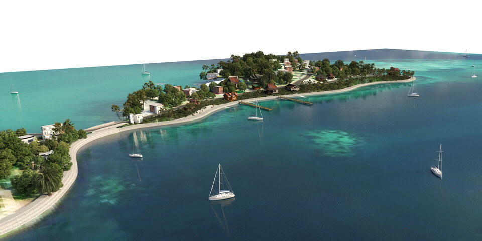
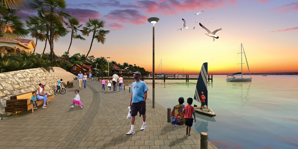
- Public space: a 1,400 m unsurfaced coastal path with footbridges and steps, restoration and lighting of the lime kiln, 25 parking places
- Land: regularisation of occupants’ plots and relocation of eligible households
- Lot 2: a new access road from the RD1 to Pointe Thalémont and Mansarde, with public lighting
Consultation
The Agence reviewed the neighbourhood in 2006 and in 2015–2016 with partners and residents, but the conclusions did not win consensus for lack of consultation, and the studies were redone. Five scenarios were compared, with works from €4.6 M to €8.5 M. The residents’ association AR.THA answered with 18 points in March 2020: 10 were accepted, 4 were postponed for constraints and 4 stayed in disagreement (the coastal path, port equipment, burying the phone lines and an association house). In August 2020 the new municipal team asked for a road serving all the neighbouring districts, which became Lot 2. Monthly progress meetings, a steering committee chaired by the mayor, and public meetings at the start and at detailed design continue. Residents asked for the lime kiln to be restored, and it is in the programme.
Mission of the team
- Update of the 2020 preliminary design and of the development permit, for the neighbourhood and the access road
- Detailed design, tender assistance and review of contractors’ drawings
- Works supervision, scheduling and coordination, handover and warranty
- Option: environmental project management
Mission of Signes Archi
- Masterplan of the neighbourhood: how roads, paths, plots, public spaces and the coastline fit together
- Update of the preliminary design and the development permit (Lot 1; the only role on Lot 2)
- Architecture: restoration of the lime kiln, waste enclosures, small buildings
- Palette of local, low-impact materials, with lime mortar for the kiln
- Communication and consultation material
- Project visuals: 3D models and photomontages
Scope and themes: Strategy, studies and planning · Design · Permits and approvals · 3D, BIM visualization and films · Nature-based solutions · Designing with communities · Climate adaptation and resilience · Ecology and biodiversity · Local resources
Project visuals
Protecting the isthmus: two options
Why it matters
The isthmus, about 70 m long, is the narrow land link to the end of the peninsula. Its north shore is losing ground: residents report a retreat of at least 10 m in a few decades, and they patch it themselves with rubble, tyres and old poles. The works replace this with a proper, lasting edge.
Why gabions were retained
- A rock carapace is sized for cyclone swell, which makes it very costly and heavy on the sea.
- This shore is sheltered: the shallow Cul-de-Sac des Roseaux and the offshore reefs make big waves break far out.
- A gabion slope needs less earthwork and less work at sea, goes faster and keeps the existing beach.
- It costs 3 to 4 times less. It is less durable in an exceptional storm, but it can be repaired.
Maps and plans
Draft for review. Plans and maps: public-inquiry dossier, SUEZ Consulting for the Agence des 50 pas géométriques, April 2023 (credit to confirm). Hero and promenade are illustrations. The rock section shows the option studied; the gabion section shows the option retained in the impact study (April 2023). Credits for Signes Paysages and the client are not final.